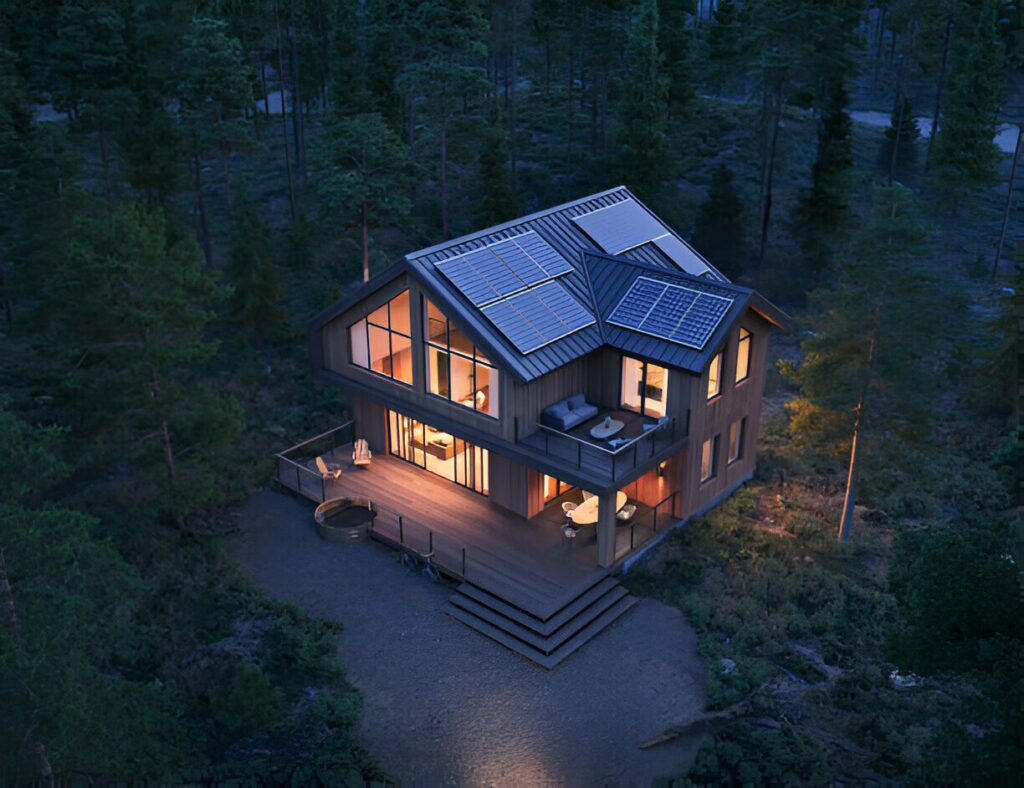
High-Quality Aerial Views Rendering Services!
Aerial views rendering is a transformative tool in architectural visualization, providing a detailed and comprehensive perspective of buildings, landscapes, and surrounding environments. Ideal for real estate marketing, urban planning, and large-scale construction projects, our aerial rendering services offer unparalleled clarity, accuracy, and realism. By showcasing properties from an elevated viewpoint, we help clients present their designs with precision, ensuring effective communication of spatial relationships and project scope. Enhance your presentations with our high-quality aerial renderings, designed to captivate investors and stakeholders alike.
Showcase Your Building with Stunning Aerial Visuals
Aerial renders provide architects, developers, and real estate professionals with a powerful way to showcase properties from a bird’s-eye perspective. This advanced visualization technique not only highlights the architectural design but also offers valuable insight into the surrounding environment, infrastructure, and accessibility. By presenting a comprehensive view of a project’s layout and context, our aerial rendering services enhance decision-making, improve stakeholder communication, and elevate marketing presentations. With high-quality, photorealistic visuals, we help clients bring their visions to life with precision and clarity.
Detailed Aerial 3D Renders for Better Planning
Accurate aerial 3D renders play a crucial role in urban development and construction projects by offering a comprehensive view of the site and its surroundings. These high-quality visualizations provide a detailed layout of roads, landscapes, and nearby structures, enabling planners, engineers, and investors to assess spatial relationships and optimize designs before construction begins. By identifying potential challenges early in the process, aerial renders enhance decision-making, improve project efficiency, and support seamless collaboration between stakeholders, ensuring successful project execution.
Detailed Aerial 3D Renders for Better Planning
-
Photorealistic Quality: Our aerial renders provide lifelike representations of buildings and landscapes.
-
Customizable Visuals: We tailor aerial renders to meet the specific needs of each project.
-
Fast & Reliable Service: ur team ensures quick turnaround times without compromising on quality.
-
Professional Expertise: Trusted by architects, real estate developers, and construction firms.
FAQs:
What is an aerial view of a building?
An aerial view of a building is a high-angle perspective that showcases the structure along with its surroundings, giving a comprehensive layout of the property in relation to nearby elements
Why are aerial views useful?
Aerial views are useful for real estate marketing, urban planning, and construction. They help visualize spatial relationships, assess site potential, and enhance property presentations.
What is aerial work in construction?
Aerial work in construction involves using drones, helicopters, or high-angle cameras to capture site progress, inspect structures, and create accurate 3D visualizations for planning and development.
